Point surveying
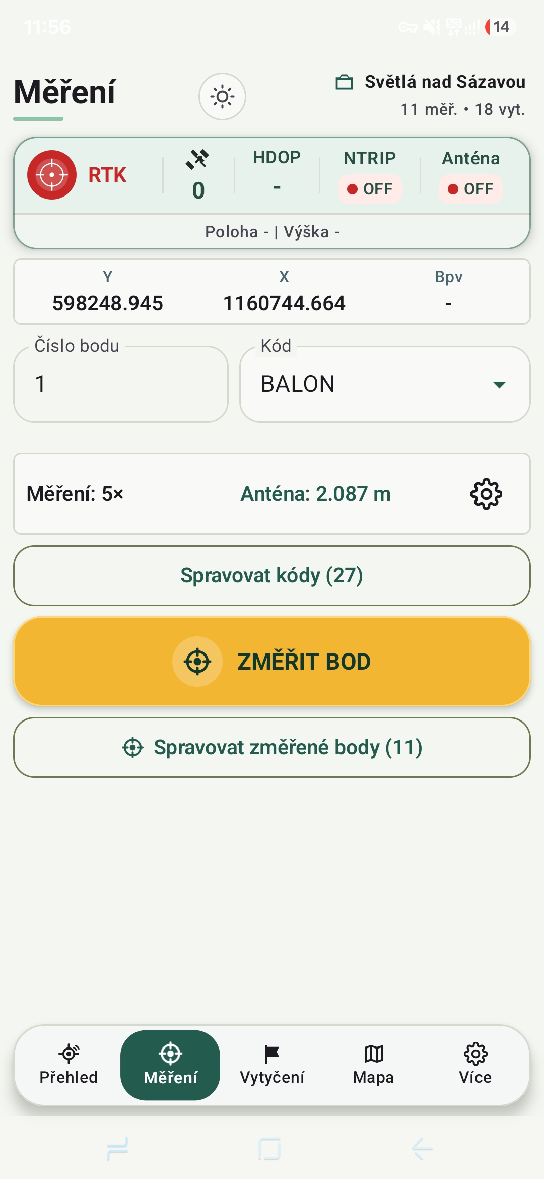
Save points with a clear overview of accuracy, solution quality and current position.

GNSS application for Android
Surveying, stakeout, RTK corrections and mapping in one clear application. PointYX connects an external GNSS receiver to your phone.
Everything you need in one place
PointYX is designed for fast and readable work outdoors, without switching between several applications.
Save points with a clear overview of accuracy, solution quality and current position.
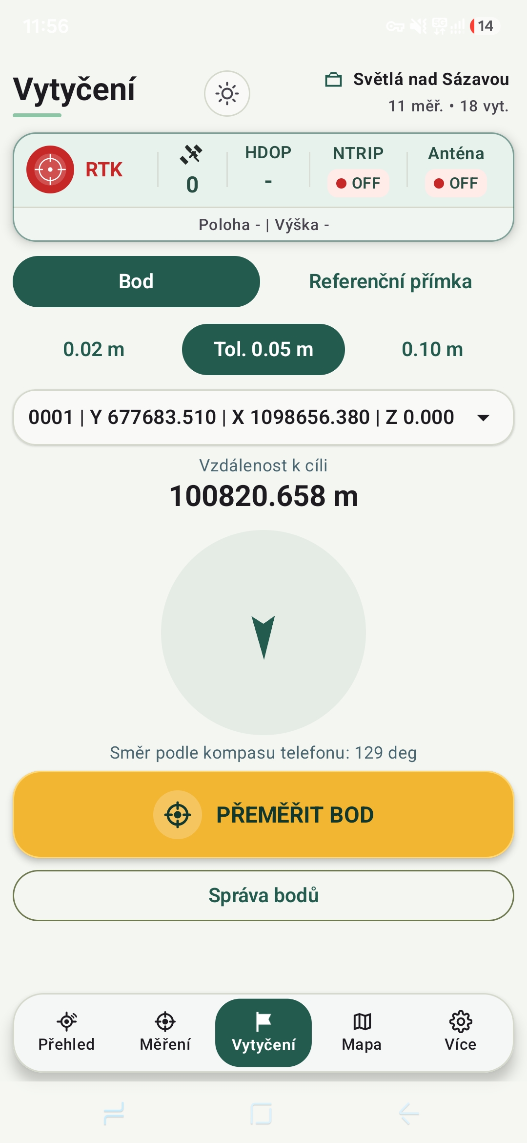
Clear navigation to a point with immediate direction and distance information.
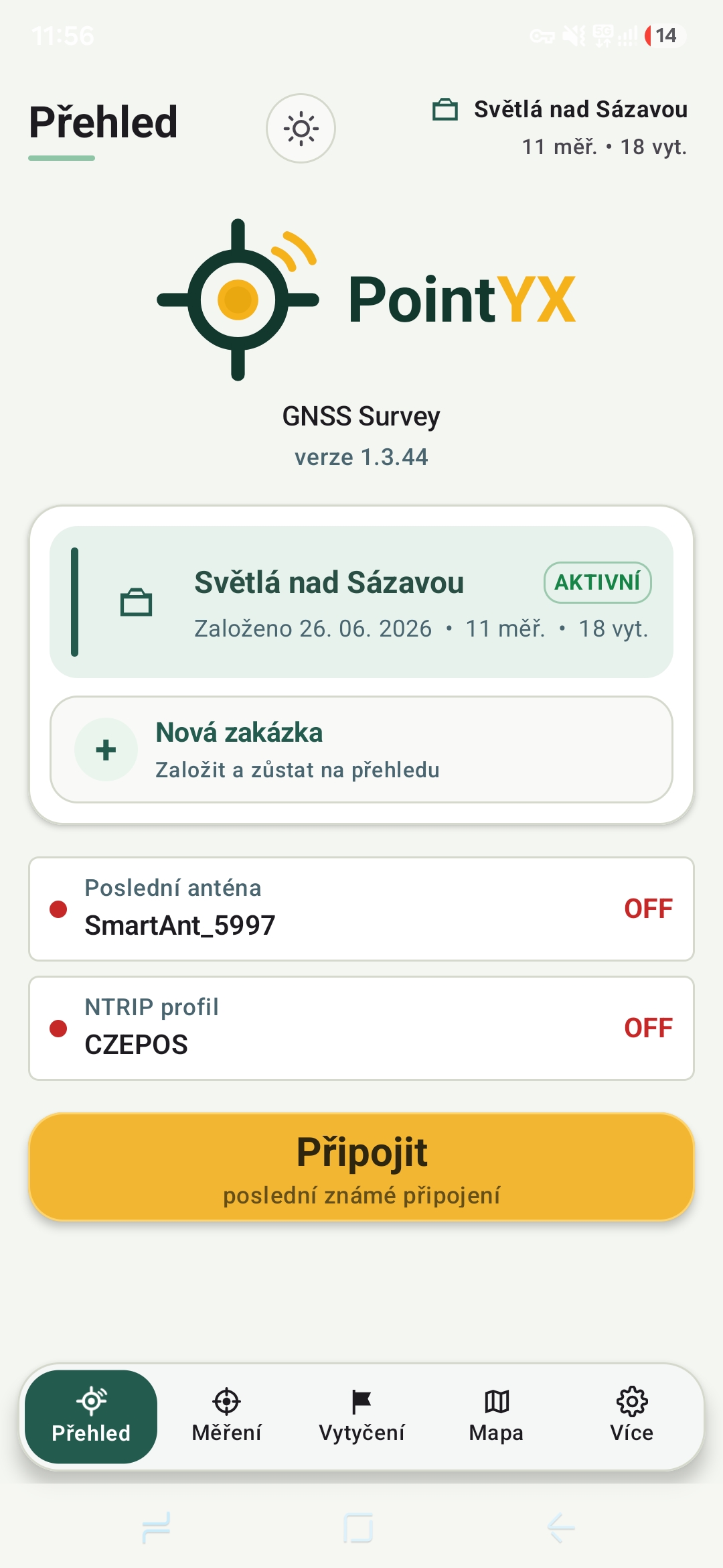
Connect to correction services, including CZEPOS, directly from the application.
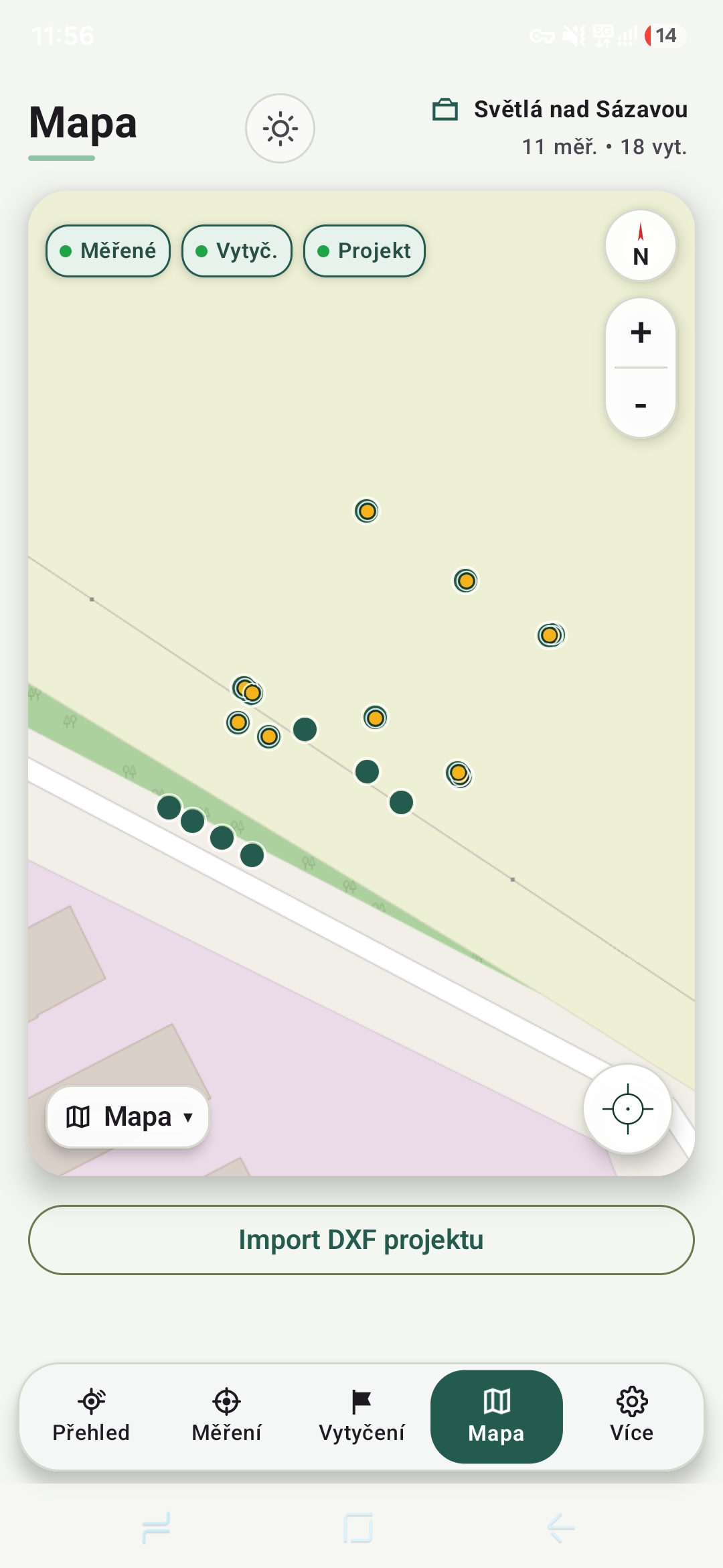
View points and project data in context directly on the job map.
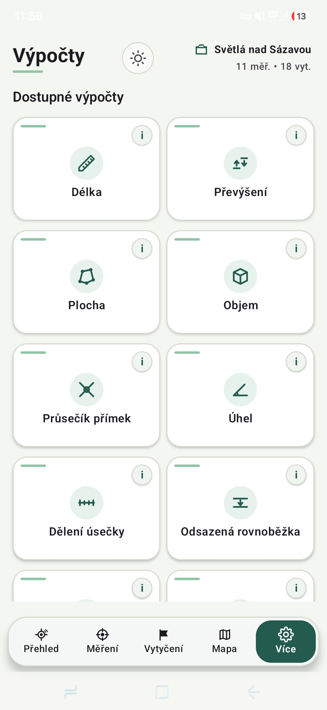
Practical surveying calculations available whenever you need them in the field.
Designed for field work
The clean interface shows exactly what you need. Large controls and readable values make work easier even in demanding conditions.
For field professionals
Measurement, stakeout and point verification.
Fast position checks directly on site.
Field data collection and easy export.
PointYX is in development
We are looking for field professionals who can help us refine the application for real surveying work.
info@pointyx.com →